Services
Site sensitivity mapping
Environmental constraint Mapping (Protected areas, CBAS)
Environmental constraint Mapping (Protected areas, CBAS)

Environmental constraint Mapping (Protected areas, CBAS)
Environmental constraint Mapping (Protected areas, CBAS)
Environmental constraint Mapping (Protected areas, CBAS)

Topographical survey mapping
Environmental constraint Mapping (Protected areas, CBAS)
Site suitability and Land use and Land cover

Site suitability and Land use and Land cover
Site suitability and Land use and Land cover

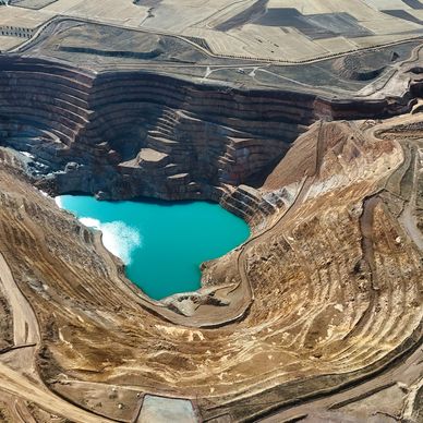
Mining Right & Prospecting Permit GIS Support